File:Localisation-Midi-Pyrénées.png
From Wikimini Stock
Jump to navigation
Jump to search
Size of this preview: 249 × 239 pixels. Other resolutions: 625 × 600 pixels | 1,066 × 1,024 pixels.
Original file (1,066 × 1,024 pixels, file size: 210 KB, MIME type: image/png)
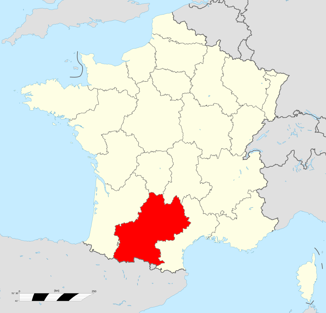
Localisation des Midi-Pyrénées (rouge) à l'échelle nationale.
Source : [1]
File history
Click on a date/time to view the file as it appeared at that time.
| Date/Time | Thumbnail | Dimensions | User | Comment | |
|---|---|---|---|---|---|
| current | 18:02, 21 February 2012 | | 1,066 × 1,024 (210 KB) | Jereemy (talk | contribs) | Localisation des Midi-Pyrénées (rouge) à l'échelle nationale. Source : [http://fr.wikipedia.org/wiki/Fichier:Midi-Pyr%C3%A9n%C3%A9es_region_locator_map.svg] |
You cannot overwrite this file.
File usage
There are no pages on the Stock that use this file.
Check on:
- Encyclopedias
- Wikimini ES (Wikimini en español)
- Wikimini FR (Wikimini en français)
- Wikimini SV (Wikimini på svenska)
- Other


 Views
Views

 Tools
Tools 


 Personal tools


